

Wayne Hodder Surveys © All Rights Reserved.
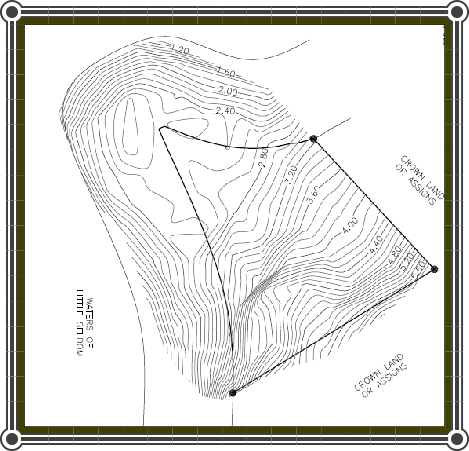
The majority of development projects in which we are involved begin in the proposal stages. We are engaged either by the owner or engineering design professionals to complete a topographic survey to identify various features of the land, such as but not limited to, land relief, utility locations and other features which may impact site design. Data is collected using real-time GPS, downloaded into a variety of the latest data manipulation and analysis software designed to meet each client’s specific needs.


